Webcam provided by windy.com — add a webcam

Lillooet, BC
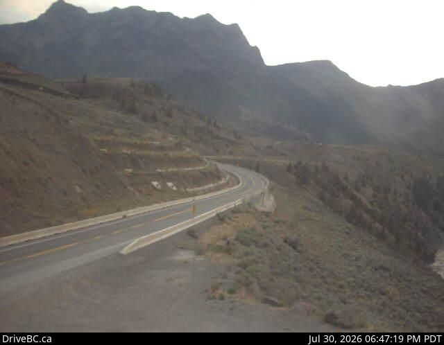
Lillooet › South-West: Hwy 99, near Fountain Slide, about 15 km north of - looking southwest
Lillooet › South-West: Hwy 99, near Fountain Slide, about 15 km north of - looking southwest

Lillooet, BC
Lillooet › West
Lillooet › West

Ashcroft, BC
Hwy-1 at Collins Rd, looking east on Hwy-1/97. (elevation: 464 metres)
Hwy-1 at Collins Rd, looking east on Hwy-1/97. (elevation: 464 metres)

Cache Creek, BC
Cache Creek › East: Hwy 1 at Collins Rd, looking east on Hwy 1/97
Cache Creek › East: Hwy 1 at Collins Rd, looking east on Hwy 1/97

Clinton, BC
Clinton › North: Hwy 97, 8 km north of - just before Big Bar rest area, looking north
Clinton › North: Hwy 97, 8 km north of - just before Big Bar rest area, looking north

BC
Spences Bridge › North: Hwy 1, on the west side of the Thompson River at the north end of - looking north
Spences Bridge › North: Hwy 1, on the west side of the Thompson River at the north end of - looking north

BC
Area E › South-West: Clinton/Bleibler Ranch Airport
Area E › South-West: Clinton/Bleibler Ranch Airport

BC
Area E › North-West: Clinton-BleiblerRanch
Area E › North-West: Clinton-BleiblerRanch

Area I, BC
Area I › East: Hwy 1, 6 km east of Lytton Airport, looking east
Area I › East: Hwy 1, 6 km east of Lytton Airport, looking east

Lytton, BC
Lytton: BC
Lytton: BC

Lytton, BC
Lytton › North-West
Lytton › North-West

Loon Lake, SK
Loon Lake: BC
Loon Lake: BC

BC
Logan Lake › North: Hwy 97C, at Highland Valley Rd, about 61 km north of Merritt and 46 km south of Ashcroft, looking north
Logan Lake › North: Hwy 97C, at Highland Valley Rd, about 61 km north of Merritt and 46 km south of Ashcroft, looking north

BC
Logan Lake: Tunkwa Lake Resort
Logan Lake: Tunkwa Lake Resort

BC
Boothroyd 8A › North: Hwy 1 at Jackass Mountain summit, between Boston Bar and Lytton, looking north
Boothroyd 8A › North: Hwy 1 at Jackass Mountain summit, between Boston Bar and Lytton, looking north