Webcam provided by windy.com — add a webcam

BC
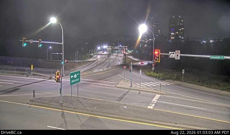
Lynnmour › South-West: Mountain Highway at Hwy 1 overpass, looking east
Lynnmour › South-West: Mountain Highway at Hwy 1 overpass, looking east

Lynnmour, BC
Lynnmour › North-East: Mountain Highway at Hwy 1 overpass, looking east
Lynnmour › North-East: Mountain Highway at Hwy 1 overpass, looking east

BC
West Lynn › South-East: Hwy 1 at the Mountain Highway exit, looking south
West Lynn › South-East: Hwy 1 at the Mountain Highway exit, looking south

BC
West Lynn › North: Hwy 1, northend of Ironworkers Memorial Bridge at Fern Street northbound
West Lynn › North: Hwy 1, northend of Ironworkers Memorial Bridge at Fern Street northbound
BC
Cedar Village › West: Hwy 1, near Lynn Valley Rd onramp, looking west
Cedar Village › West: Hwy 1, near Lynn Valley Rd onramp, looking west

BC
Cedar Village › East: Hwy 1, near Lynn Valley Rd onramp, looking east
Cedar Village › East: Hwy 1, near Lynn Valley Rd onramp, looking east

BC
District of North Vancouver › South: Hwy 1, north end of Ironworkers Memorial Bridge, looking south
District of North Vancouver › South: Hwy 1, north end of Ironworkers Memorial Bridge, looking south

North Vancouver, BC
North Vancouver › North: Hwy 1, north end of Ironworkers Memorial Bridge, looking north
North Vancouver › North: Hwy 1, north end of Ironworkers Memorial Bridge, looking north

Vancouver, BC
Vancouver: Maplewood Farm
Vancouver: Maplewood Farm

Vancouver, BC
Vancouver › South: Ironworkers Memorial Bridge, mid-span, looking south
Vancouver › South: Ironworkers Memorial Bridge, mid-span, looking south

Vancouver, BC
Vancouver › South-West: Hwy 1, south end of Ironworkers Memorial Bridge, looking eastbound toward the Cassiar Tunnel
Vancouver › South-West: Hwy 1, south end of Ironworkers Memorial Bridge, looking eastbound toward the Cassiar Tunnel

Vancouver, BC
Vancouver › North: Hwy 1, south end of Ironworkers Memorial Bridge, looking westbound towards the North Shore
Vancouver › North: Hwy 1, south end of Ironworkers Memorial Bridge, looking westbound towards the North Shore

North Vancouver, BC
North Vancouver › West: Hwy 1 (Upper Levels Highway) at Lonsdale Ave, looking west
North Vancouver › West: Hwy 1 (Upper Levels Highway) at Lonsdale Ave, looking west

North Vancouver, BC
Hwy-1 (Upper Levels Highway) at Lonsdale Ave, looking south. (elevation: 132 metres)
Hwy-1 (Upper Levels Highway) at Lonsdale Ave, looking south. (elevation: 132 metres)

North Vancouver, BC
Hwy-1 (Upper Levels Highway) at Lonsdale Ave, looking east. (elevation: 132 metres)
Hwy-1 (Upper Levels Highway) at Lonsdale Ave, looking east. (elevation: 132 metres)