Webcam provided by windy.com — add a webcam

Richmond, BC
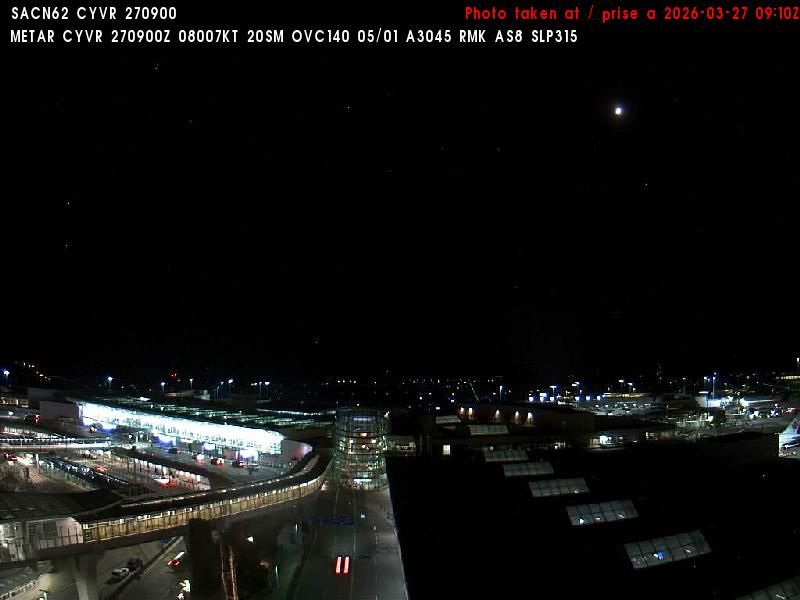
Richmond › West: Vancouver International Airport
Richmond › West: Vancouver International Airport

Richmond, BC
Richmond › North-West: VancouverIntl
Richmond › North-West: VancouverIntl

BC
Marpole › North: Oak Street at 70th Ave., north approach to Oak Street Bridge, looking north on Oak Street
Marpole › North: Oak Street at 70th Ave., north approach to Oak Street Bridge, looking north on Oak Street

BC
Marpole › South: Oak Street at 70th Avenue, north approach to Oak Street Bridge, looking south to the bridge
Marpole › South: Oak Street at 70th Avenue, north approach to Oak Street Bridge, looking south to the bridge

Vancouver, BC
Vancouver › South: Dunbar-Southlands - Musqueam 2 - West 41st Avenue
Vancouver › South: Dunbar-Southlands - Musqueam 2 - West 41st Avenue

Richmond, NS
Richmond › North: Hwy 99 at Cambie Rd in - looking north
Richmond › North: Hwy 99 at Cambie Rd in - looking north

NS
Richmond › South: Hwy 99 at Cambie Rd in - looking south
Richmond › South: Hwy 99 at Cambie Rd in - looking south

Richmond, BC
Brighouse › North: Hwy 99 at Shell Rd, approaching Oak St Bridge, looking north
Brighouse › North: Hwy 99 at Shell Rd, approaching Oak St Bridge, looking north

BC
Seafair › North-West: GarryPoint(Richmond)
Seafair › North-West: GarryPoint(Richmond)
BC
East Cambie › South: South end of Knight Street Bridge, looking south
East Cambie › South: South end of Knight Street Bridge, looking south

BC
Brighouse › North: Hwy 99 at Westminster Hwy in Richmond, looking south
Brighouse › North: Hwy 99 at Westminster Hwy in Richmond, looking south

Richmond, BC
Hwy-99 at Westminster Hwy-in Richmond, looking south. (elevation: 5 metres)
Hwy-99 at Westminster Hwy-in Richmond, looking south. (elevation: 5 metres)

Richmond, BC
Hwy-99 at Westminster Hwy-in Richmond, looking north. (elevation: 5 metres)
Hwy-99 at Westminster Hwy-in Richmond, looking north. (elevation: 5 metres)

Victoria-fraserview, BC
Victoria-Fraserview › South: North end of Knight Street Bridge, looking south
Victoria-Fraserview › South: North end of Knight Street Bridge, looking south

BC
Victoria-Fraserview › North: North end of Knight Street Bridge, looking north
Victoria-Fraserview › North: North end of Knight Street Bridge, looking north