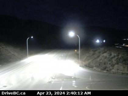

Savona, BC
Hwy-1 at Holloway Drive, near Savona, looking west. (elevation: 411 metres)
Hwy-1 at Holloway Drive, near Savona, looking west. (elevation: 411 metres)

BC
Logan Lake: Tunkwa Lake Resort
Logan Lake: Tunkwa Lake Resort

Kamloops, BC
Hwy-1 in Kamloops, east of Copperhead Drive, looking east. (elevation: 679 metres)
Hwy-1 in Kamloops, east of Copperhead Drive, looking east. (elevation: 679 metres)

Kamloops, BC
Hwy-1 in Kamloops, east of Copperhead Drive, looking west. (elevation: 679 metres)
Hwy-1 in Kamloops, east of Copperhead Drive, looking west. (elevation: 679 metres)

Kamloops, BC
Kamloops: Overlanders Bridge
Kamloops: Overlanders Bridge

Kamloops, BC
Kamloops › West: Hwy 5 at Halston Ave - Paul Lake Rd in - looking west
Kamloops › West: Hwy 5 at Halston Ave - Paul Lake Rd in - looking west

Kamloops, BC
Kamloops
Kamloops

Kamloops, BC
Kamloops › North
Kamloops › North

Kamloops, BC
Kamloops › North: Upper Sahali - North Shore - Batchelor Heights
Kamloops › North: Upper Sahali - North Shore - Batchelor Heights

Kamloops, BC
Hwy-1 at Peterson Creek bridge in Kamloops, looking west. (elevation: 469 metres)
Hwy-1 at Peterson Creek bridge in Kamloops, looking west. (elevation: 469 metres)

Sagebrush, BC
Sagebrush › East: Hwy 1 at Peterson Creek bridge in Kamloops, looking east
Sagebrush › East: Hwy 1 at Peterson Creek bridge in Kamloops, looking east

Thompson-nicola Regional District,
Thompson-Nicola Regional District › South: Hwy 5, about 30 km south of Kamloops, looking south
Thompson-Nicola Regional District › South: Hwy 5, about 30 km south of Kamloops, looking south

BC
Thompson-Nicola: Lac Le Jeune, BC
Thompson-Nicola: Lac Le Jeune, BC

BC
Logan Lake › North: Hwy 97C, at Highland Valley Rd, about 61 km north of Merritt and 46 km south of Ashcroft, looking north
Logan Lake › North: Hwy 97C, at Highland Valley Rd, about 61 km north of Merritt and 46 km south of Ashcroft, looking north

Cache Creek, BC
Cache Creek › East: Hwy 1 at Collins Rd, looking east on Hwy 1/97
Cache Creek › East: Hwy 1 at Collins Rd, looking east on Hwy 1/97