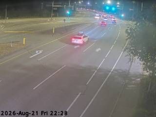
Webcam provided by windy.com — add a webcam
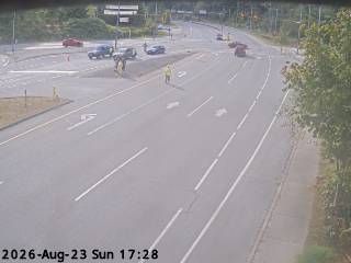
Area F, BRITISH COLUMBIA
Area F › West
Area F › West
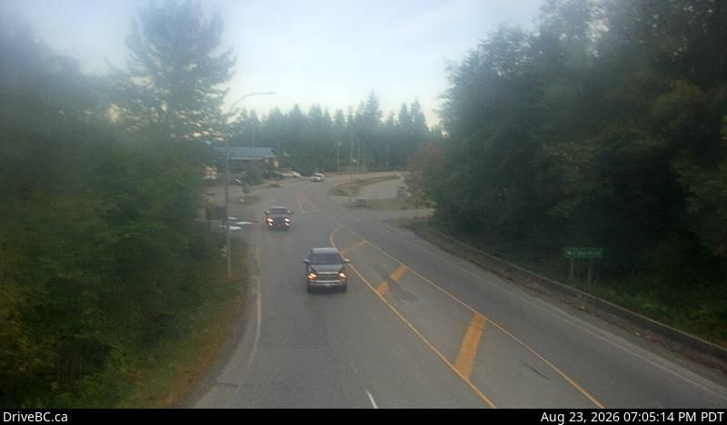
Gibsons, BRITISH COLUMBIA
Gibsons › South: Hwy 101, top of - Bypass at Stewart Rd, looking south
Gibsons › South: Hwy 101, top of - Bypass at Stewart Rd, looking south

Area F, BRITISH COLUMBIA
Area F
Area F
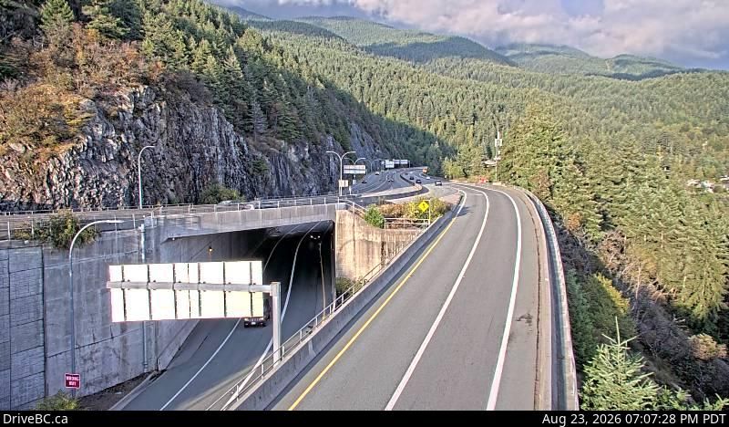
West Vancouver, BRITISH COLUMBIA
West Vancouver › East: Hwy 99 at Hwy 1 ramp to Horseshoe Bay, looking east
West Vancouver › East: Hwy 99 at Hwy 1 ramp to Horseshoe Bay, looking east
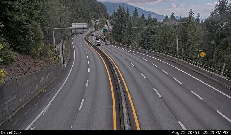
Lions Bay, BRITISH COLUMBIA
Lions Bay › South: Hwy 99, in - looking south
Lions Bay › South: Hwy 99, in - looking south
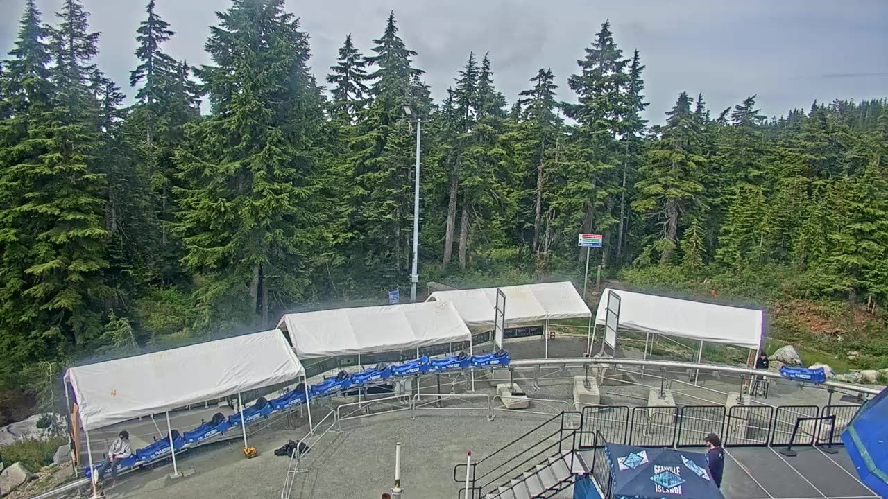
West Vancouver, BRITISH COLUMBIA
West Vancouver › North
West Vancouver › North
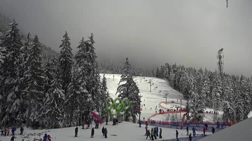
West Vancouver, BRITISH COLUMBIA
West Vancouver: Crazy Raven Bar and Grill
West Vancouver: Crazy Raven Bar and Grill
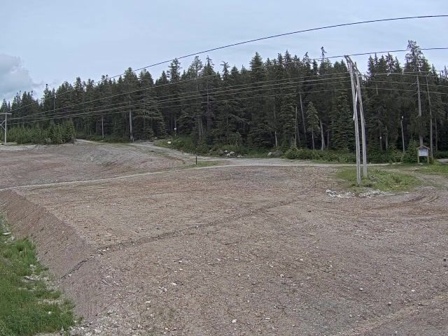
West Vancouver, BRITISH COLUMBIA
West Vancouver › East
West Vancouver › East
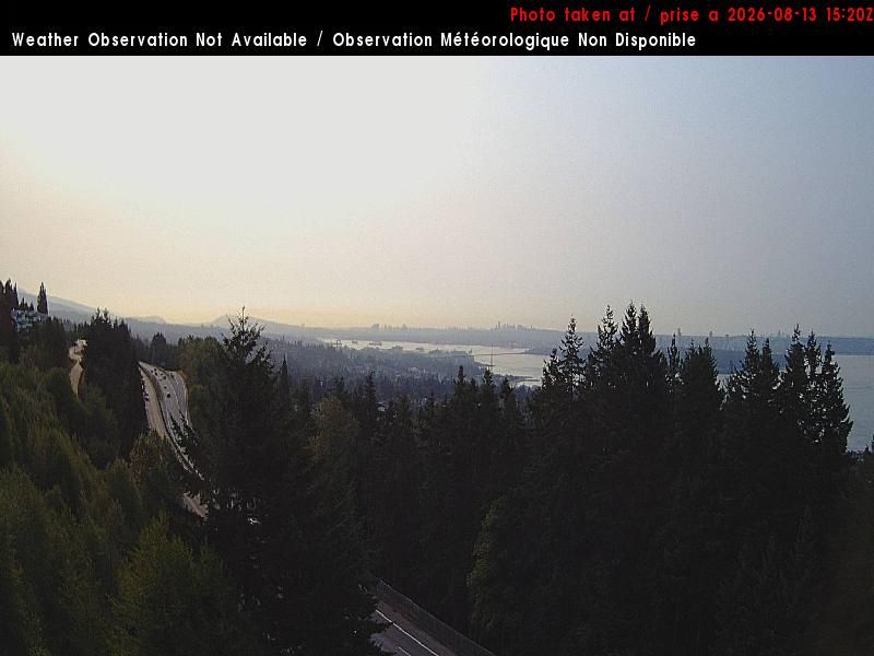
North Vancouver, BRITISH COLUMBIA
North Vancouver: West Vancouver 2
North Vancouver: West Vancouver 2
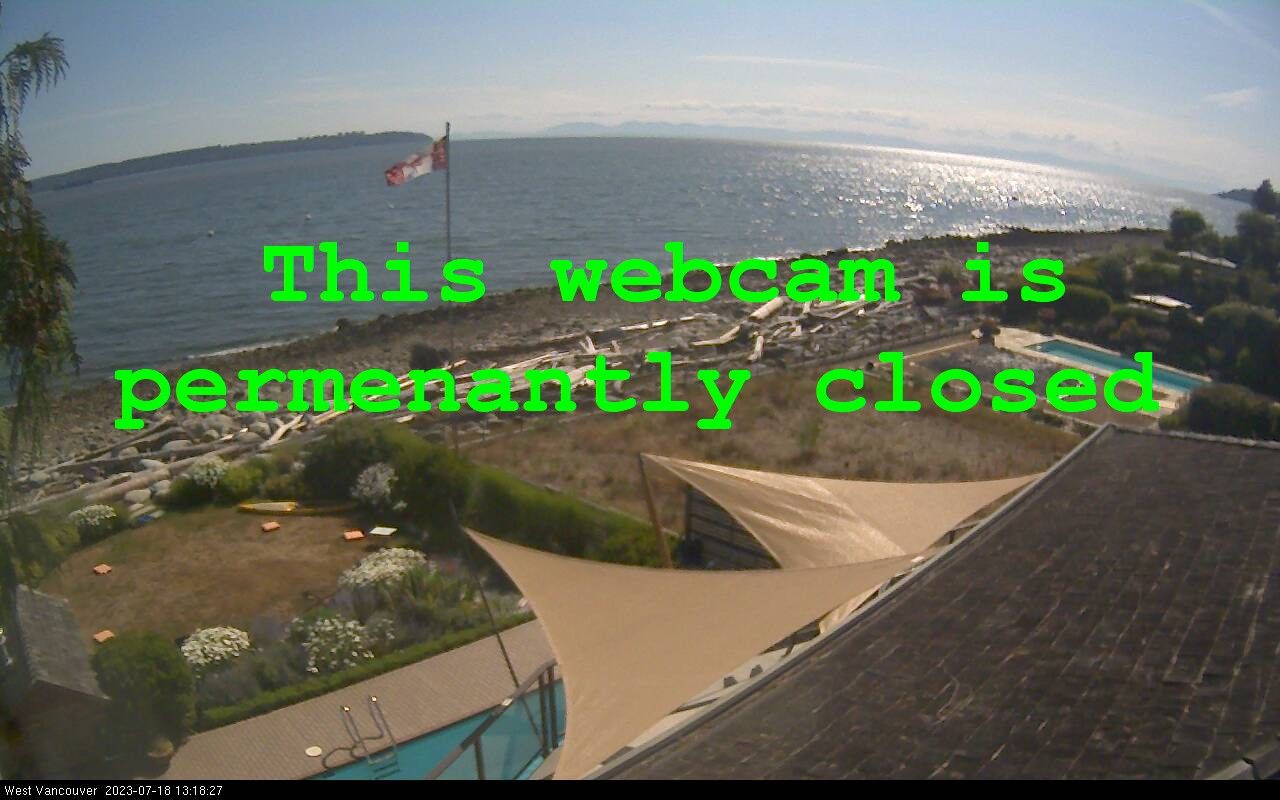
West Vancouver, BRITISH COLUMBIA
West Vancouver: Burrard Inlet
West Vancouver: Burrard Inlet
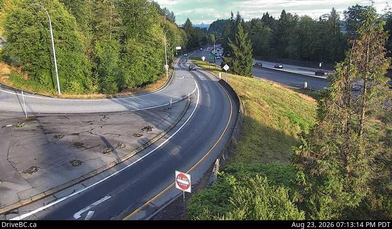
West Vancouver, BRITISH COLUMBIA
West Vancouver › East: Hwy 1, at Cross Creek/15th St exit in - looking east
West Vancouver › East: Hwy 1, at Cross Creek/15th St exit in - looking east
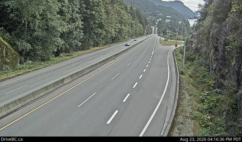
Squamish, BRITISH COLUMBIA
Squamish › South: Hwy 99, about 12km south of - looking south
Squamish › South: Hwy 99, about 12km south of - looking south
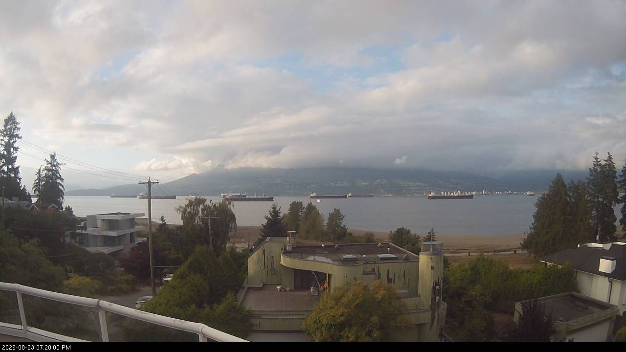
Vancouver, BRITISH COLUMBIA
Vancouver: Jericho Beach - West Point Grey - West Vancouver
Vancouver: Jericho Beach - West Point Grey - West Vancouver
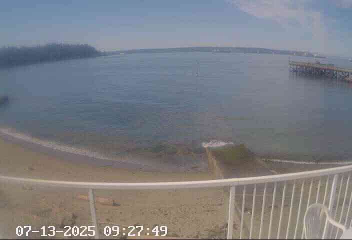
West Vancouver, BRITISH COLUMBIA
West Vancouver › South: Ambleside Beach - English Bay
West Vancouver › South: Ambleside Beach - English Bay
Vancouver, BRITISH COLUMBIA
Vancouver: Jericho Sailing Centre
Vancouver: Jericho Sailing Centre