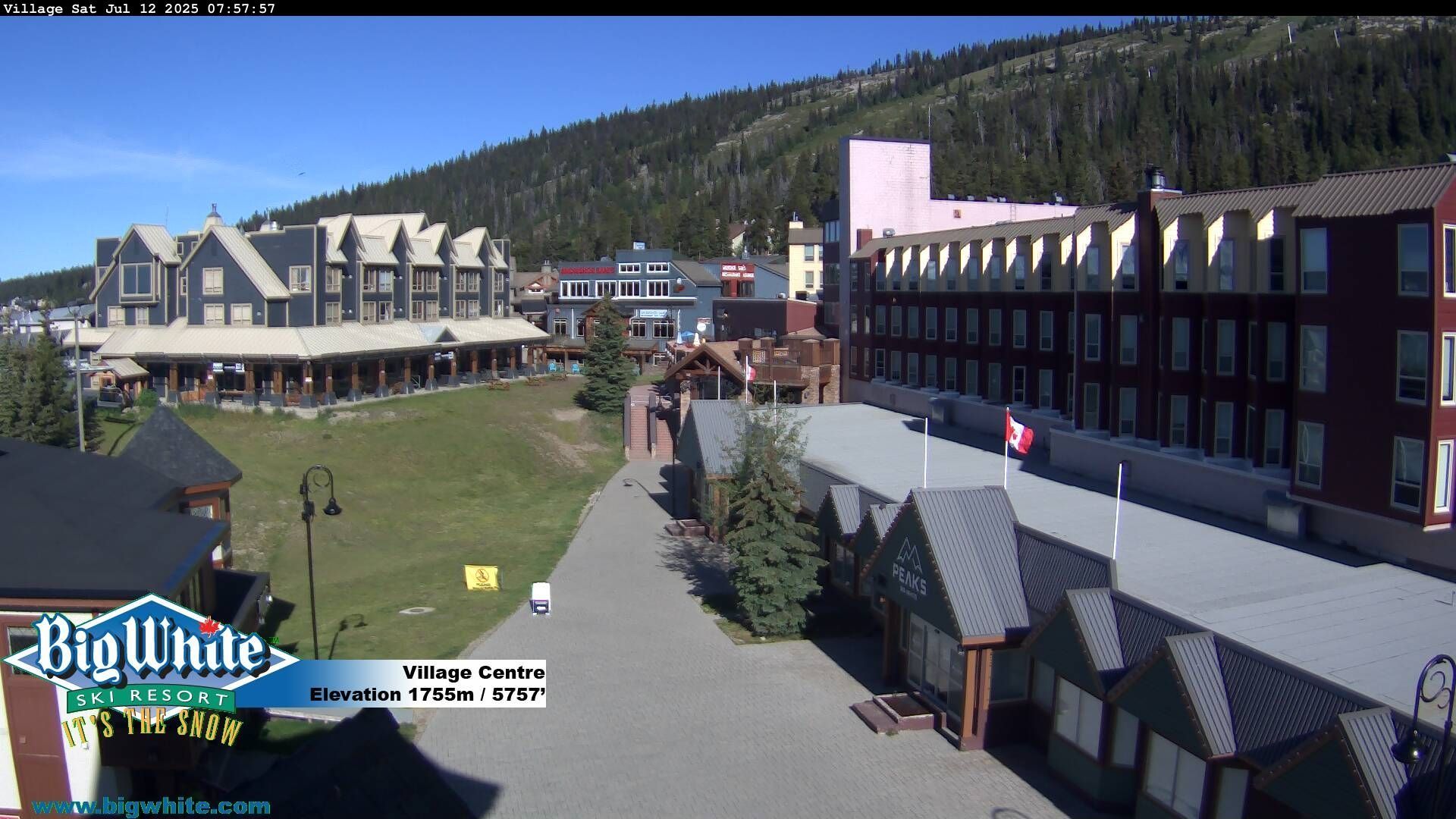
Webcam provided by windy.com — add a webcam
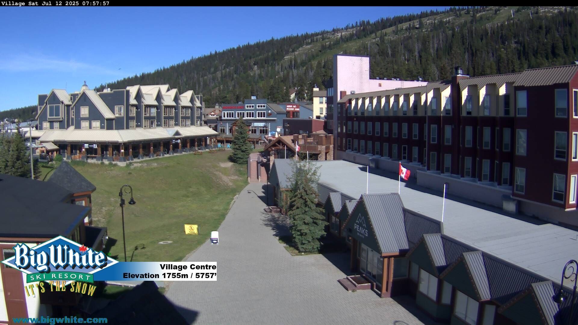
District Of North Vancouver, BRITISH COLUMBIA
District of North Vancouver: Cliff - Big White
District of North Vancouver: Cliff - Big White
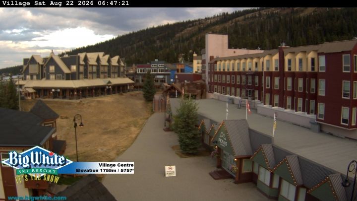
Area E, BRITISH COLUMBIA
Area E: Big White Mountain - Big White Ski Resort
Area E: Big White Mountain - Big White Ski Resort
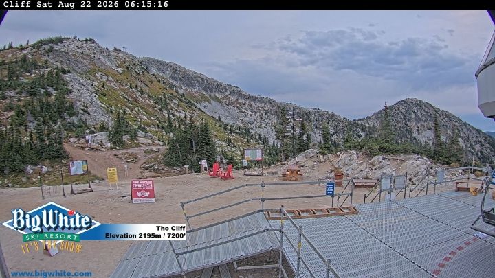
Area E, BRITISH COLUMBIA
Area E
Area E
Kelowna, BRITISH COLUMBIA
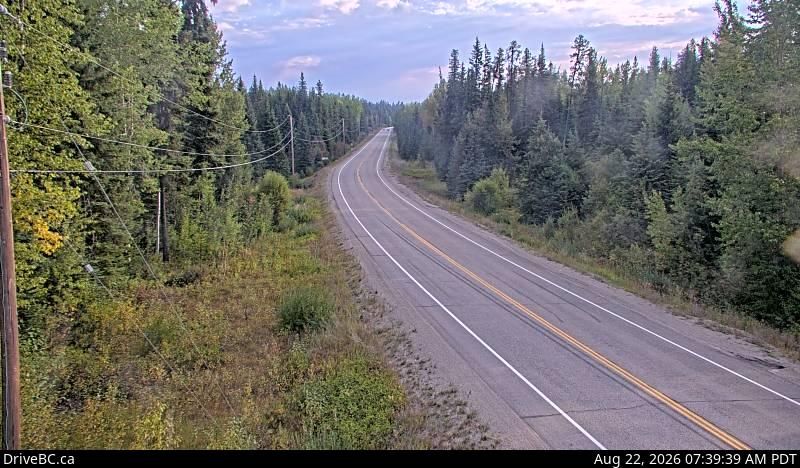
Kelowna › North: Hwy 33, 41 km southeast of - just south of Big White turnoff, looking north
Kelowna › North: Hwy 33, 41 km southeast of - just south of Big White turnoff, looking north
East Central Okanagan Electoral Are, BRITISH COLUMBIA
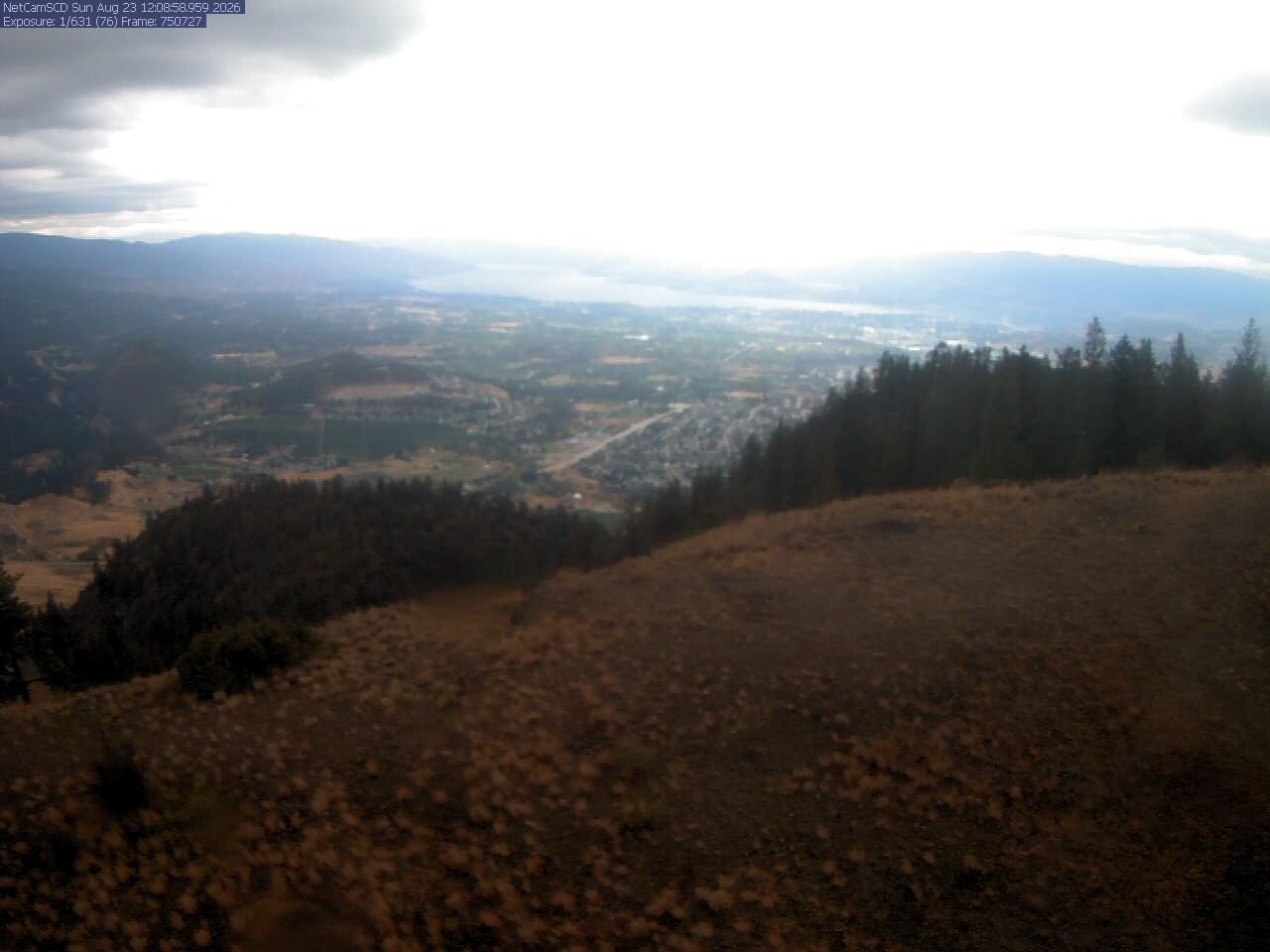
East Central Okanagan Electoral Area › South-West
East Central Okanagan Electoral Area › South-West
Kelowna, BRITISH COLUMBIA
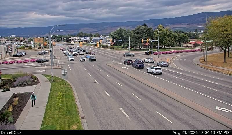
Kelowna › North: Hwy 97 at Hwy 33 in - looking North on Hwy
Kelowna › North: Hwy 97 at Hwy 33 in - looking North on Hwy
Lake Country, BRITISH COLUMBIA
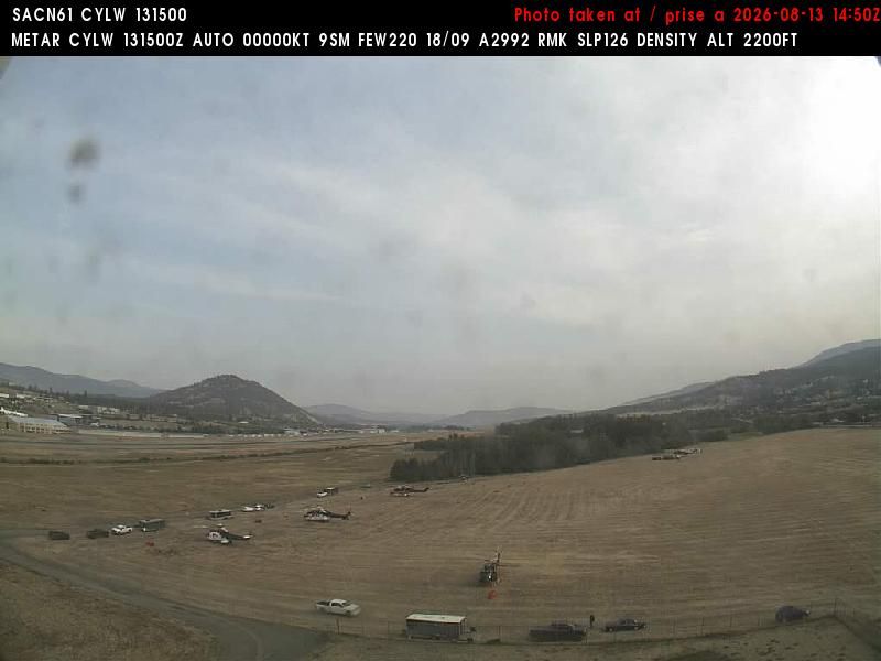
Lake Country: Kelowna Airport - North View
Lake Country: Kelowna Airport - North View
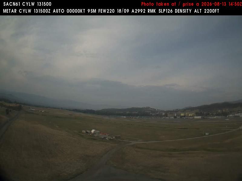
Kelowna, BRITISH COLUMBIA
Kelowna: Airport - Southwest View
Kelowna: Airport - Southwest View

Kelowna, BC
Webcam Kelowna: Kelowna International Airport (CYLW)
Webcam Kelowna: Kelowna International Airport (CYLW)
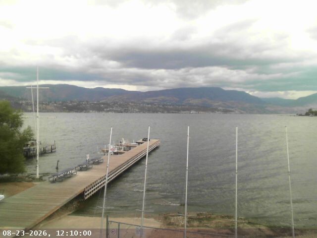
Kelowna, BRITISH COLUMBIA
Kelowna: COSA, Central Okanagan Sailing Association
Kelowna: COSA, Central Okanagan Sailing Association
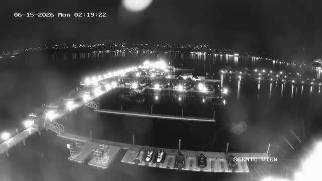
Kelowna, BRITISH COLUMBIA
Kelowna › South-West
Kelowna › South-West
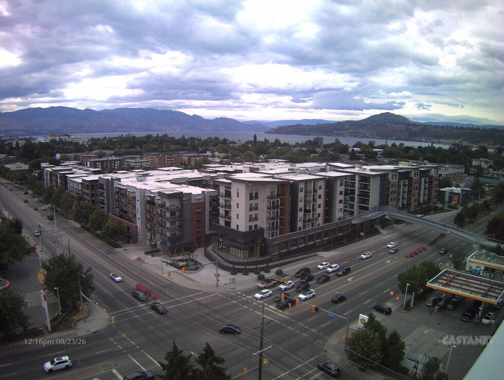
Kelowna, BRITISH COLUMBIA
Kelowna: lakeview
Kelowna: lakeview
Cherryville, BRITISH COLUMBIA
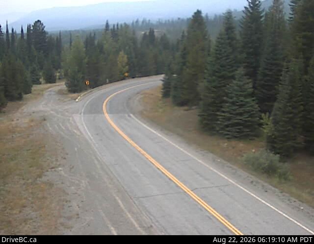
Cherryville › West: Hwy 6, 83 km east of Vernon, looking westbound
Cherryville › West: Hwy 6, 83 km east of Vernon, looking westbound

North Kelowna, BRITISH COLUMBIA
North Kelowna › West: East approach to WR Bennett Bridge at Abbott Street, looking west along Hwy
North Kelowna › West: East approach to WR Bennett Bridge at Abbott Street, looking west along Hwy
Kelowna, BRITISH COLUMBIA
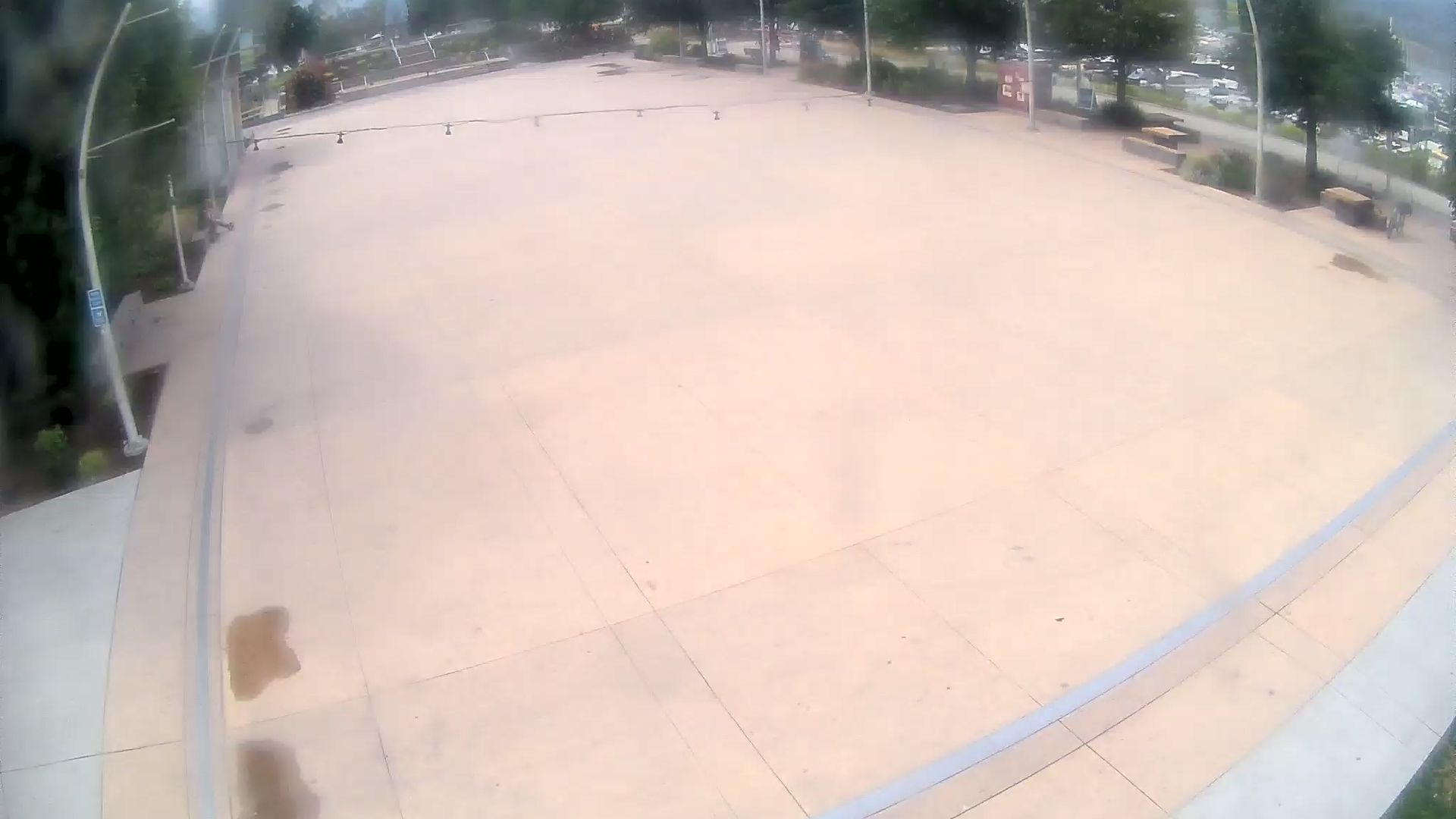
Kelowna › South-West: Stuart Park Outdoor Ice Rink - BC - View of the ice surface and marina
Kelowna › South-West: Stuart Park Outdoor Ice Rink - BC - View of the ice surface and marina