Webcam provided by windy.com — add a webcam
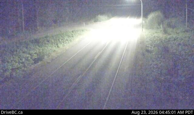
Gitaus, BRITISH COLUMBIA
Gitaus › East: Hwy 16 near Chimdemash Creek, about 22 km east of Hwy 16 and Hwy 37 Junction in Terrace looking north east
Gitaus › East: Hwy 16 near Chimdemash Creek, about 22 km east of Hwy 16 and Hwy 37 Junction in Terrace looking north east
Terrace, BRITISH COLUMBIA
Terrace: Gold Mine Cam 6
Terrace: Gold Mine Cam 6
Area E, BRITISH COLUMBIA
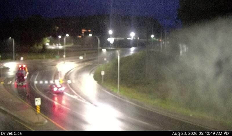
Area E › South: Hwy 16 at Hwy 37S near Terrace, looking south
Area E › South: Hwy 16 at Hwy 37S near Terrace, looking south
Terrace, BRITISH COLUMBIA
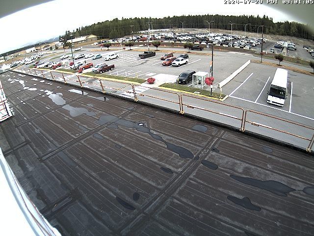
Terrace › West: Northwest Regional Airport
Terrace › West: Northwest Regional Airport
Terrace, BRITISH COLUMBIA
Terrace: Gold Mine Cam 5
Terrace: Gold Mine Cam 5
Rosswood, BRITISH COLUMBIA
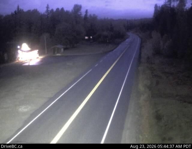
Rosswood › North: Hwy 113 near - about 44 km north of Terrace, looking north
Rosswood › North: Hwy 113 near - about 44 km north of Terrace, looking north
Lakelse Lake, BRITISH COLUMBIA
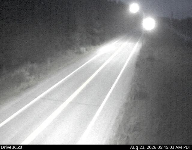
Lakelse Lake › North: Hwy 37S at Onion Lake Cross Country ski trails, looking north
Lakelse Lake › North: Hwy 37S at Onion Lake Cross Country ski trails, looking north

Cedarvale, BRITISH COLUMBIA
Cedarvale › West: Junction of Hwy 16 and Hwy 37, near Kitwanga, looking west on Hwy
Cedarvale › West: Junction of Hwy 16 and Hwy 37, near Kitwanga, looking west on Hwy
Kitimat, BRITISH COLUMBIA
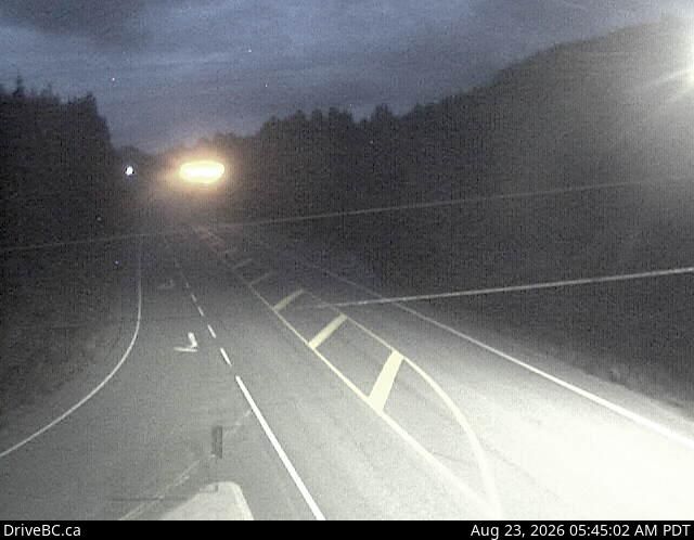
Kitimat › North: Hwy 37 at Oolichan Avenue, 5 km north of - looking North
Kitimat › North: Hwy 37 at Oolichan Avenue, 5 km north of - looking North

Area B, BRITISH COLUMBIA
Area B › North: Hwy 37N at Kitwancool Access Rd about 2.5 km south of Gitanyow and 21 km north of Hwy 16 junction, looking north
Area B › North: Hwy 37N at Kitwancool Access Rd about 2.5 km south of Gitanyow and 21 km north of Hwy 16 junction, looking north
Area A, BRITISH COLUMBIA
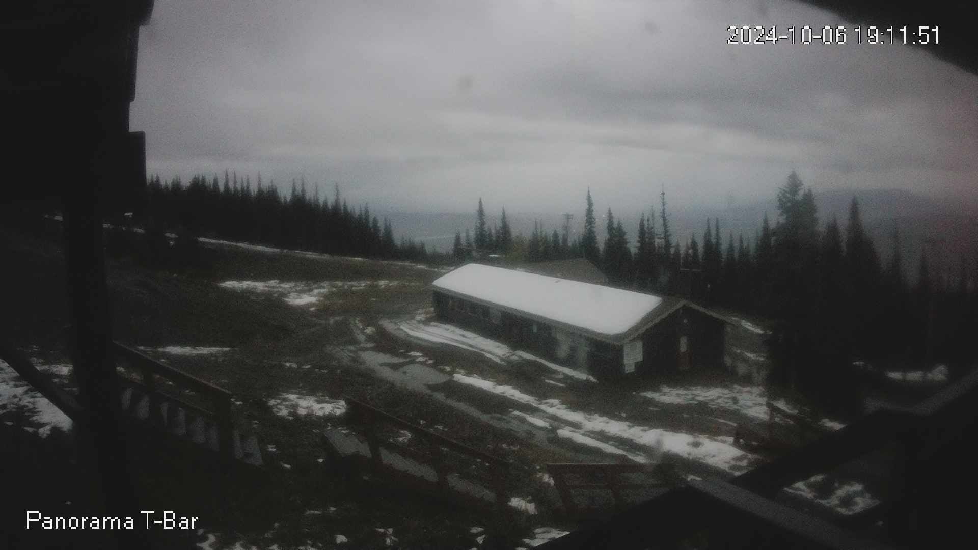
Area A › East
Area A › East
Area C, BRITISH COLUMBIA
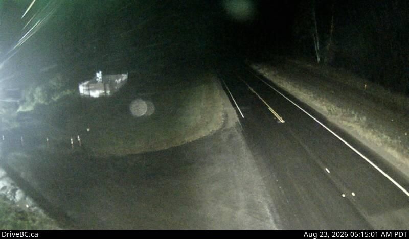
Area C › East: Hwy 16, at Kasiks resort area, 60 km west of Terrace, looking east
Area C › East: Hwy 16, at Kasiks resort area, 60 km west of Terrace, looking east
Smithers, BRITISH COLUMBIA
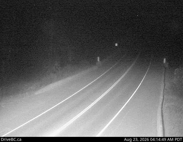
Smithers › South-East: Hwy 16 at the Trout Creek bridge, looking south-east
Smithers › South-East: Hwy 16 at the Trout Creek bridge, looking south-east
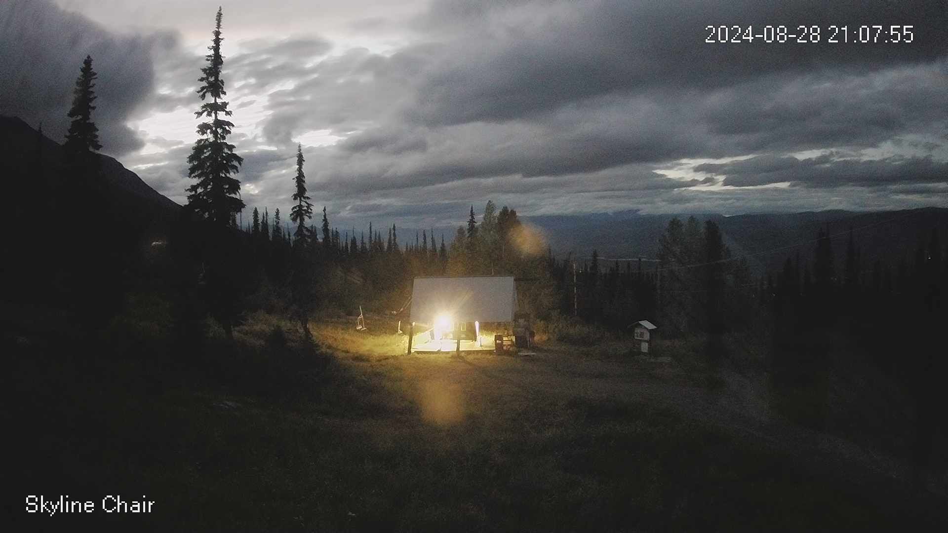
Area A, BRITISH COLUMBIA
Area A › North
Area A › North
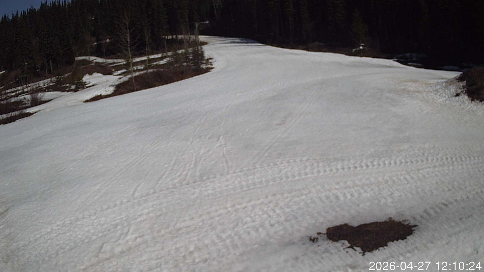
Smithers, BRITISH COLUMBIA
Smithers
Smithers