Webcam provided by windy.com — add a webcam
Tête Jaune Cache, BRITISH COLUMBIA
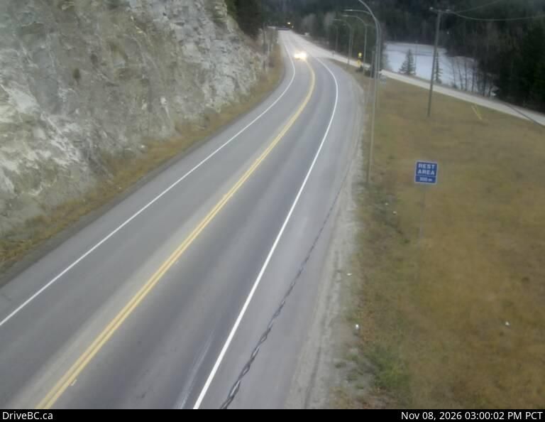
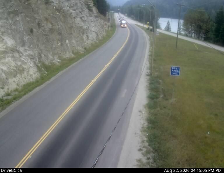
Tête Jaune Cache › East: Hwy 16 at Hwy 5 junction, looking east
Tête Jaune Cache › East: Hwy 16 at Hwy 5 junction, looking east
Valemount, BRITISH COLUMBIA
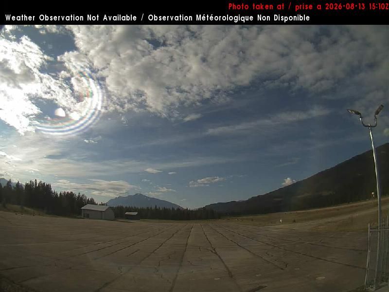
Valemount: Valemount Airport (CAH4)
Valemount: Valemount Airport (CAH4)
Valemount, BRITISH COLUMBIA
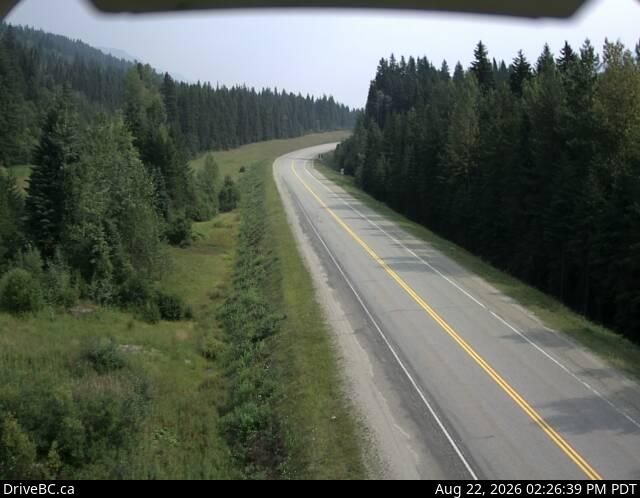
Valemount › East: Hwy 16, 27 km east of Tete-Jaune Junction, 40 km west of BC/Alberta border
Valemount › East: Hwy 16, 27 km east of Tete-Jaune Junction, 40 km west of BC/Alberta border
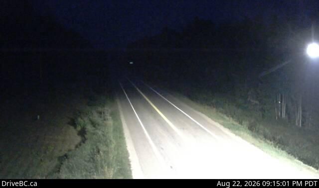
Regional District Of Fraser-fort Ge, REGIONAL DISTRICT OF FRASER-FORT GE
Regional District of Fraser-Fort George › East: Hwy 16 at Dunster Station Rd, about 30 km east of McBride, looking east
Regional District of Fraser-Fort George › East: Hwy 16 at Dunster Station Rd, about 30 km east of McBride, looking east
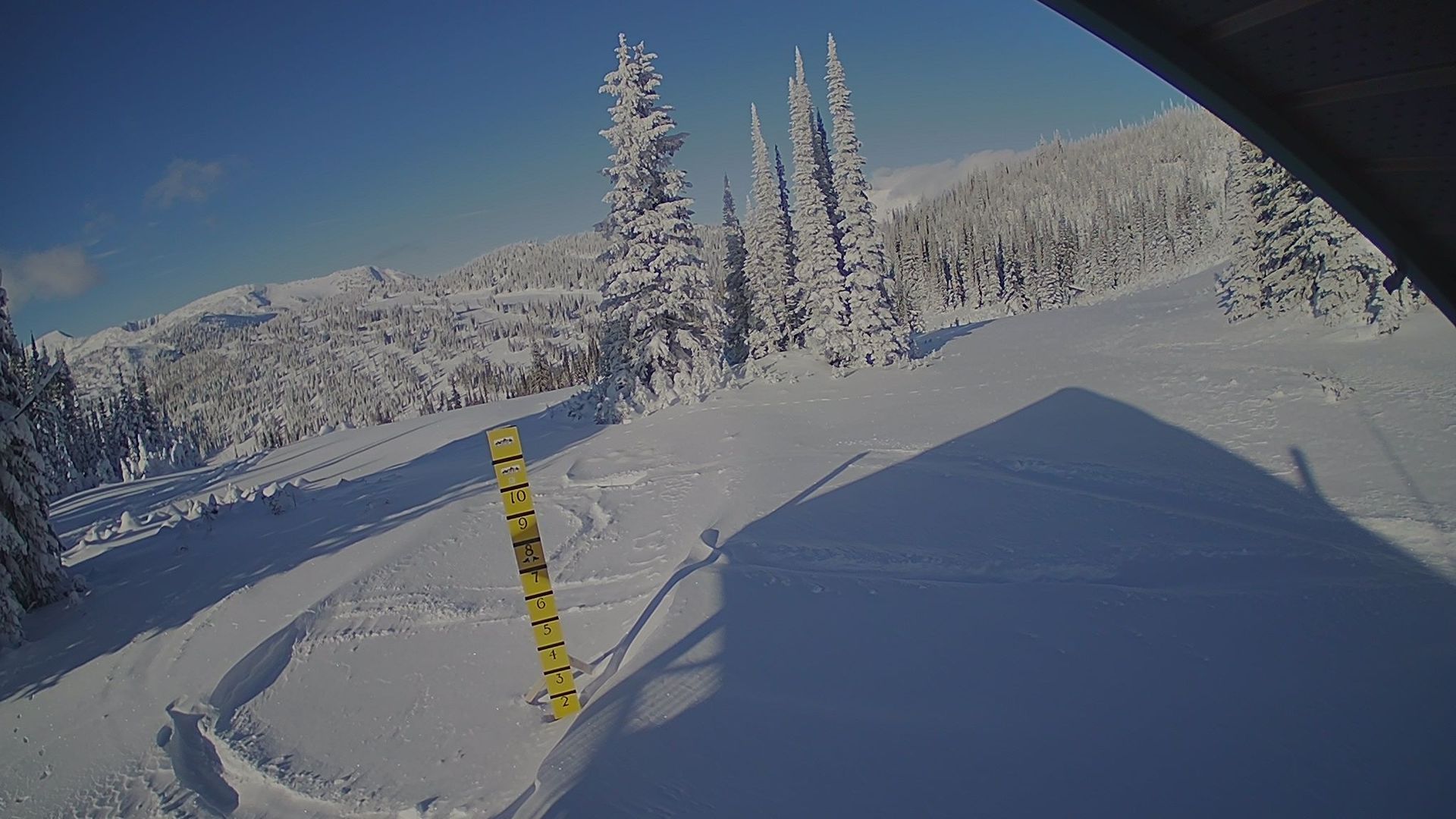
Area B, BRITISH COLUMBIA
Area B
Area B
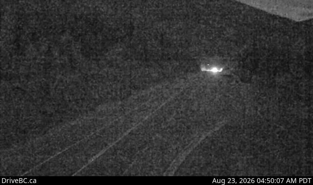
Merrickville-wolford, ONTARIO
Merrickville-Wolford › West: Hwy 16, about 0.5 km west of the BC-Alberta border, looking west
Merrickville-Wolford › West: Hwy 16, about 0.5 km west of the BC-Alberta border, looking west
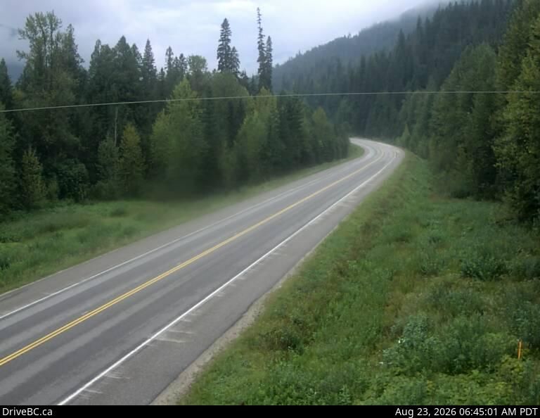
Thompson-nicola Regional District, THOMPSON-NICOLA REGIONAL DISTRICT
Thompson-Nicola Regional District › South: Hwy 5, approximately 40 km north of Blue River, looking south
Thompson-Nicola Regional District › South: Hwy 5, approximately 40 km north of Blue River, looking south

Jasper, ALBERTA
Jasper: Jasper SkyTram
Jasper: Jasper SkyTram
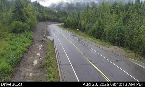
Regional District Of Fraser-fort Ge, REGIONAL DISTRICT OF FRASER-FORT GE
Regional District of Fraser-Fort George › West: Hwy 16, at West Twin Creek, looking west
Regional District of Fraser-Fort George › West: Hwy 16, at West Twin Creek, looking west
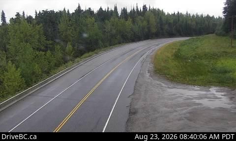
Regional District Of Fraser-fort Ge, REGIONAL DISTRICT OF FRASER-FORT GE
Regional District of Fraser-Fort George › East: Hwy 16, at West Twin Creek, looking east
Regional District of Fraser-Fort George › East: Hwy 16, at West Twin Creek, looking east
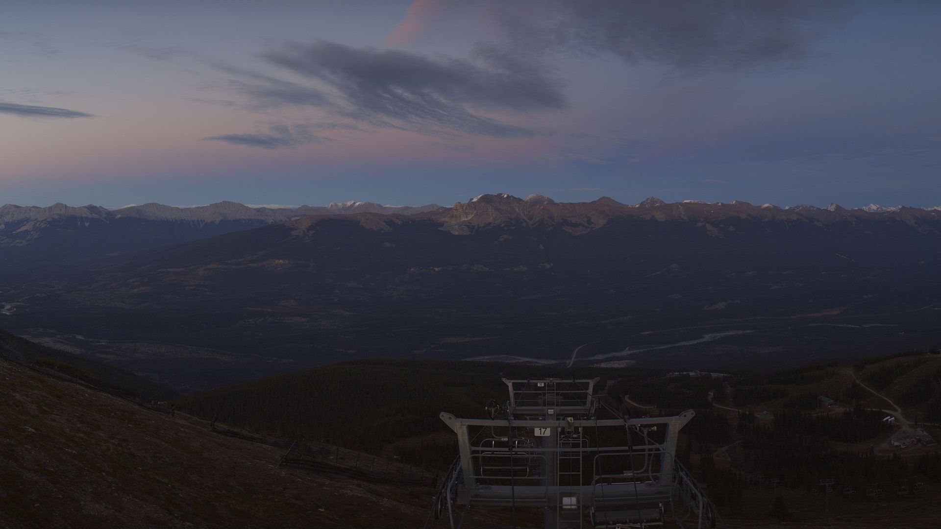
Jasper, ALBERTA
Jasper: Marmot Basin
Jasper: Marmot Basin

Jasper, ALBERTA
Jasper › South: Marmot Basin - AB
Jasper › South: Marmot Basin - AB
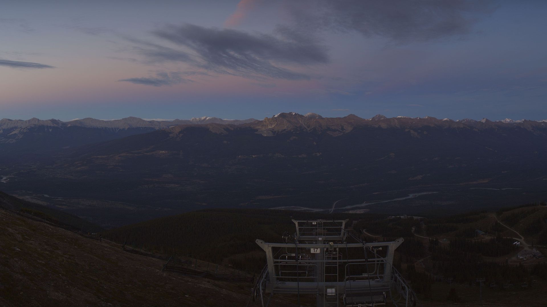
Jasper, ALBERTA
Jasper: Marmot Basin
Jasper: Marmot Basin

Jasper, ALBERTA
Jasper: Marmot Basin - AB: Upper Mountain
Jasper: Marmot Basin - AB: Upper Mountain

Jasper, ALBERTA
Jasper: Marmot Basin
Jasper: Marmot Basin