Webcam provided by windy.com — add a webcam

Little Fort, BRITISH COLUMBIA
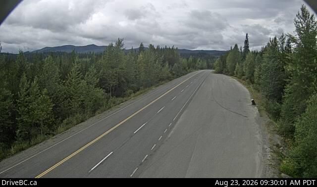
Little Fort › West: Hwy 24, 15 km west of - looking west
Little Fort › West: Hwy 24, 15 km west of - looking west
Area O, BRITISH COLUMBIA
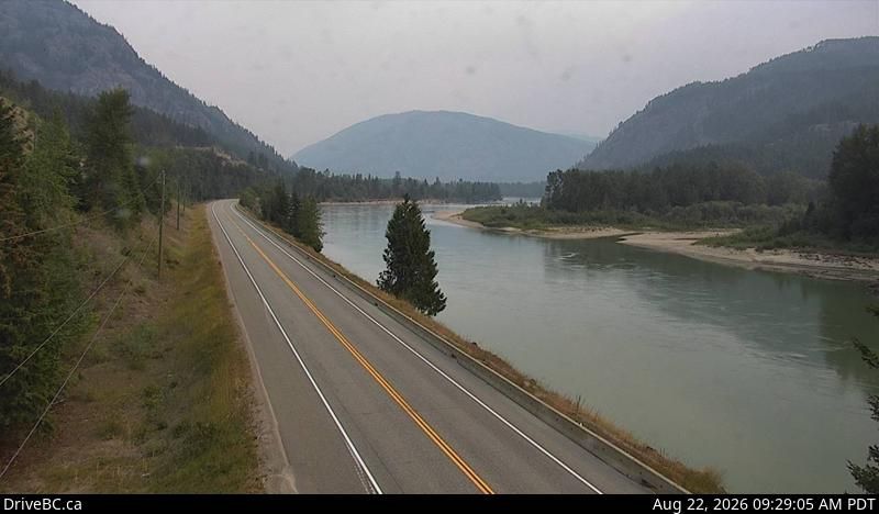
Area O › North: Hwy 5, about 2 km north of Highway 24, looking north
Area O › North: Hwy 5, about 2 km north of Highway 24, looking north
Little Fort, BRITISH COLUMBIA
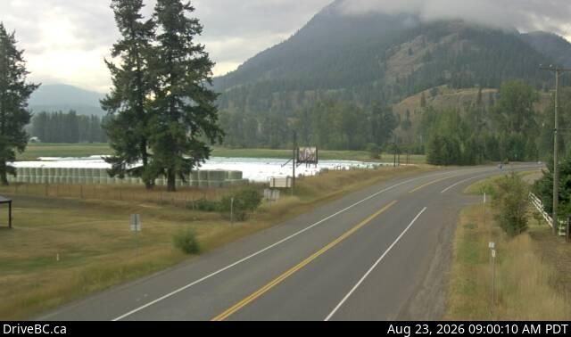
Little Fort › North: Hwy 5, in - at Hwy 5/Hwy 24 junction, looking north
Little Fort › North: Hwy 5, in - at Hwy 5/Hwy 24 junction, looking north

Clearwater, BC
Webcam Clearwater: Landscape View
Webcam Clearwater: Landscape View
Clearwater, BRITISH COLUMBIA
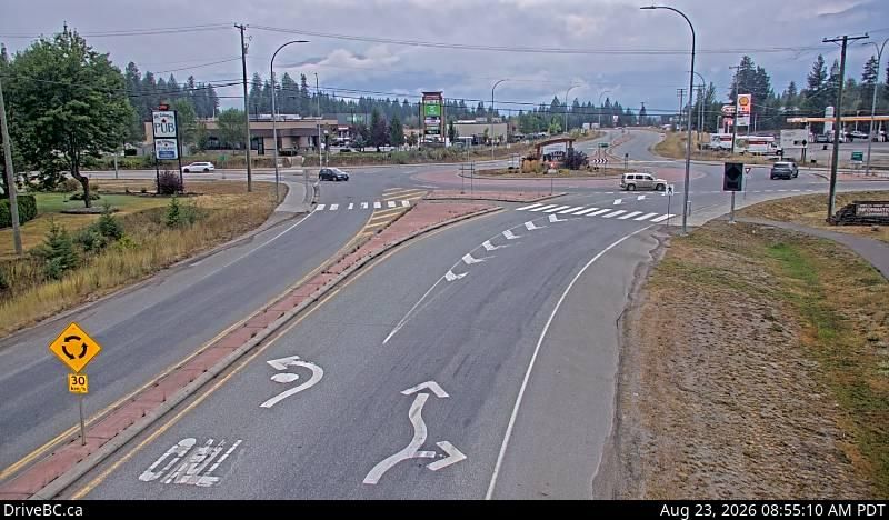
Clearwater › South: Hwy 5 at - Valley Rd, looking south
Clearwater › South: Hwy 5 at - Valley Rd, looking south

Barriere, BRITISH COLUMBIA
Barriere › North: Barrière
Barriere › North: Barrière

Interlakes, BRITISH COLUMBIA
Interlakes › West: Hwy 24, 63 km west of Little Fort, looking west
Interlakes › West: Hwy 24, 63 km west of Little Fort, looking west
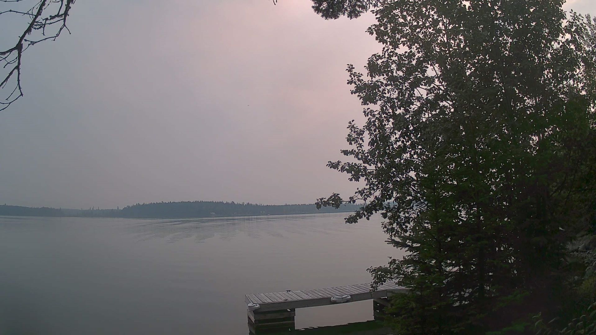
Area L, BRITISH COLUMBIA
Area L
Area L
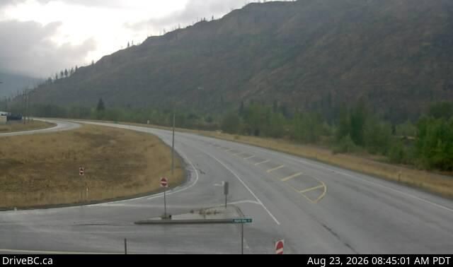
Barriere, BRITISH COLUMBIA
Barriere › South: Hwy 5 at Agate Bay Rd, south of - looking south
Barriere › South: Hwy 5 at Agate Bay Rd, south of - looking south
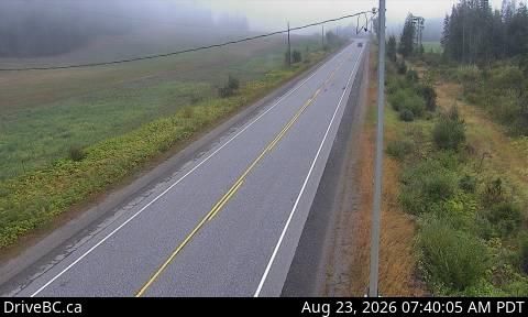
Area B, BRITISH COLUMBIA
Area B › North-East: Hwy 5, about 18 km northeast of Vavenby, looking northbound
Area B › North-East: Hwy 5, about 18 km northeast of Vavenby, looking northbound
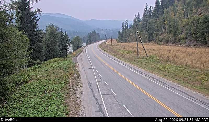
Thompson-nicola Regional District, THOMPSON-NICOLA REGIONAL DISTRICT
Thompson-Nicola Regional District › South: Hwy 5, about 15 km south of Avola, looking south
Thompson-Nicola Regional District › South: Hwy 5, about 15 km south of Avola, looking south
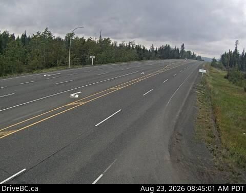
100 Mile House, BRITISH COLUMBIA
100 Mile House › North: Begbie Summit - Cariboo Highway
100 Mile House › North: Begbie Summit - Cariboo Highway
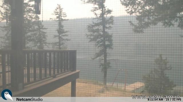
Loon Lake, SASKATCHEWAN
Loon Lake: BC
Loon Lake: BC

Sun Peaks Mountain Resort Municipal, BRITISH COLUMBIA
Sun Peaks Mountain Resort Municipality
Sun Peaks Mountain Resort Municipality
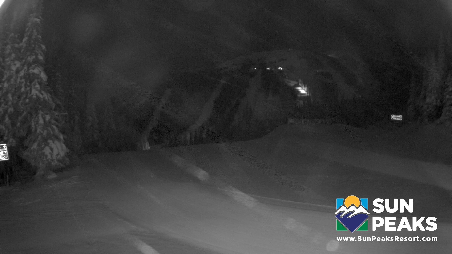
Chase, BRITISH COLUMBIA
Chase: Sun Peaks - Mt. Tod from the top of the Sundance Express
Chase: Sun Peaks - Mt. Tod from the top of the Sundance Express