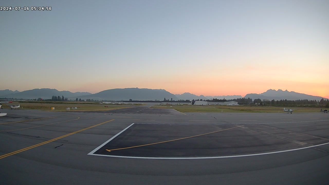
Webcam provided by windy.com — add a webcam
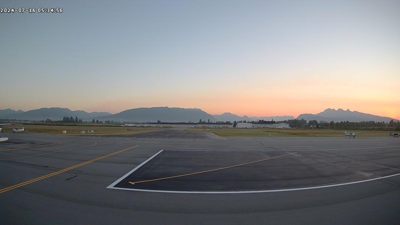
Pitt Meadows, BRITISH COLUMBIA
Pitt Meadows › North
Pitt Meadows › North
Pitt Meadows, BRITISH COLUMBIA
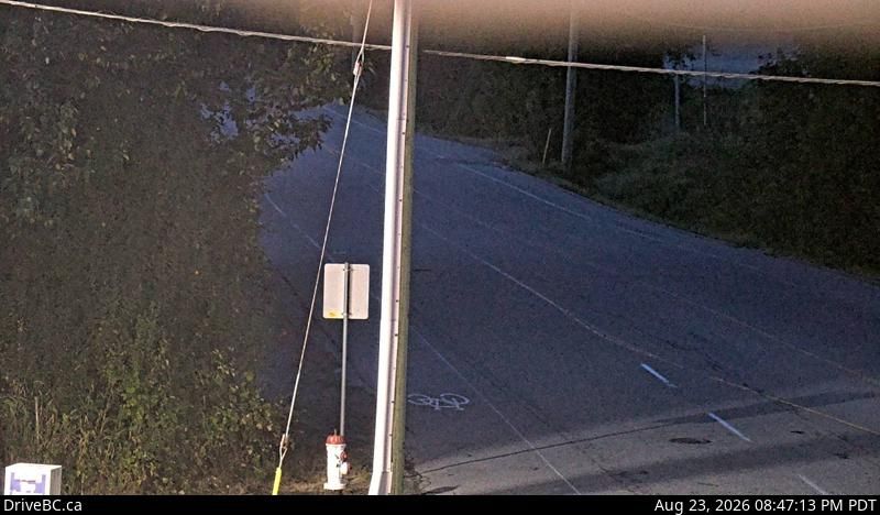
Pitt Meadows › North: Hwy 7 (Lougheed Hwy) at Harris Road, looking north
Pitt Meadows › North: Hwy 7 (Lougheed Hwy) at Harris Road, looking north
Port Coquitlam, BRITISH COLUMBIA
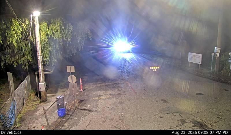
Port Coquitlam › West: Barnston Island, at Barnston Island Ferry Landing, looking west
Port Coquitlam › West: Barnston Island, at Barnston Island Ferry Landing, looking west

Surrey, BRITISH COLUMBIA
Surrey › West: Port Kells, at Barnston Ferry Landing, looking west
Surrey › West: Port Kells, at Barnston Ferry Landing, looking west
Pitt Meadows, BRITISH COLUMBIA
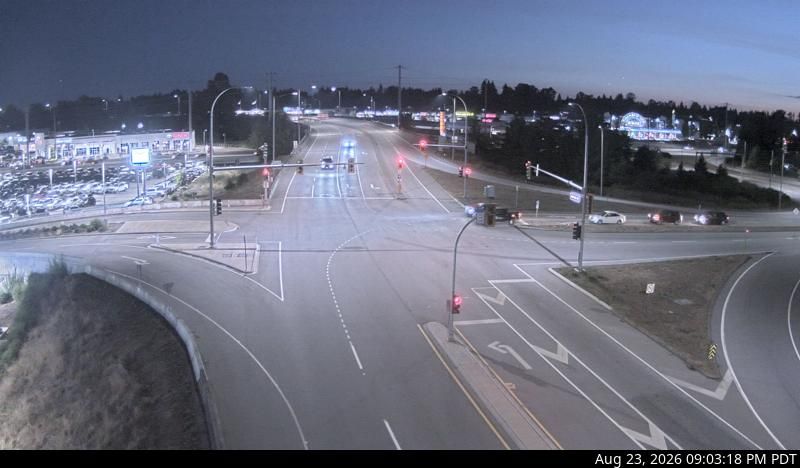
Pitt Meadows › South: Golden Ears Way at Hwy 7 (Lougheed Highway), looking south
Pitt Meadows › South: Golden Ears Way at Hwy 7 (Lougheed Highway), looking south
Pitt Meadows, BRITISH COLUMBIA
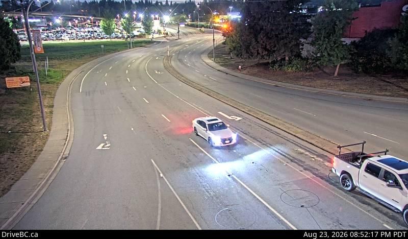
Pitt Meadows › South: Hwy 7 (Lougheed Hwy) at Maple Meadows Way/Dewdney Trunk Rd, looking south
Pitt Meadows › South: Hwy 7 (Lougheed Hwy) at Maple Meadows Way/Dewdney Trunk Rd, looking south
Surrey, BRITISH COLUMBIA
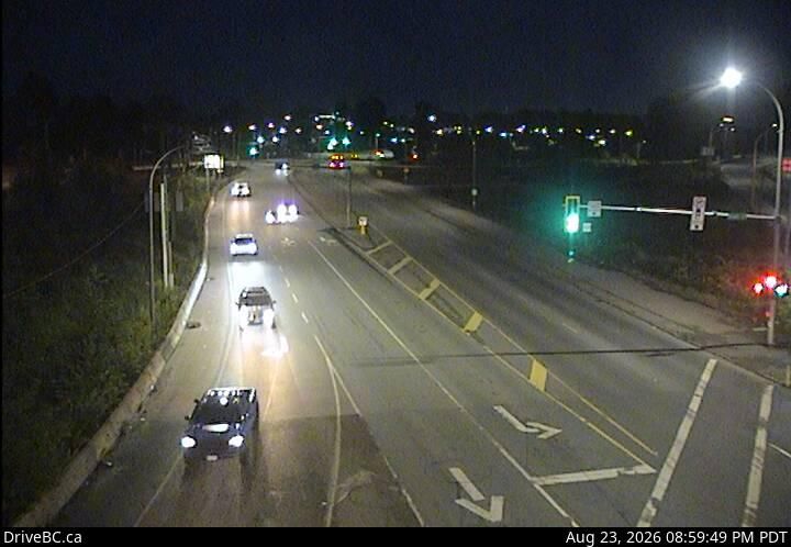
Surrey › East: 104th Avenue at Hwy 17 looking east
Surrey › East: 104th Avenue at Hwy 17 looking east

Anniedale, BRITISH COLUMBIA
Anniedale › North: Golden Ears Way at 96 Avenue Connector, looking south
Anniedale › North: Golden Ears Way at 96 Avenue Connector, looking south

Pitt Meadows, BRITISH COLUMBIA
Pitt Meadows › South-East: Hwy 7 (Lougheed Hwy) at Kennedy Road, looking southeast
Pitt Meadows › South-East: Hwy 7 (Lougheed Hwy) at Kennedy Road, looking southeast
Surrey, BRITISH COLUMBIA
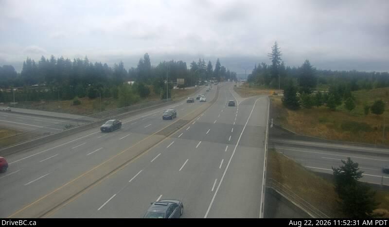
Surrey › South: Hwy 1 at 176th Street overpass, looking south
Surrey › South: Hwy 1 at 176th Street overpass, looking south
Township Of Langley, BRITISH COLUMBIA
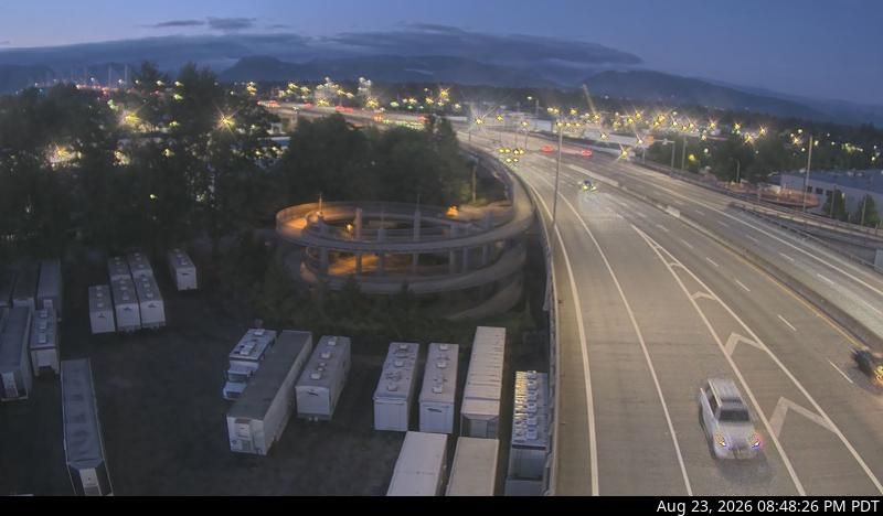
Township of Langley › South: Golden Ears Way, at 199A Avenue off-ramp and 200 Street on-ramp, looking east
Township of Langley › South: Golden Ears Way, at 199A Avenue off-ramp and 200 Street on-ramp, looking east
Port Coquitlam, BRITISH COLUMBIA
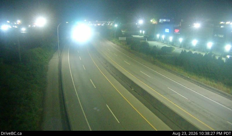
Port Coquitlam › West: Hwy 7B, on Mary Hill at Kingsway Ave, looking west
Port Coquitlam › West: Hwy 7B, on Mary Hill at Kingsway Ave, looking west
Mary Hill, BRITISH COLUMBIA
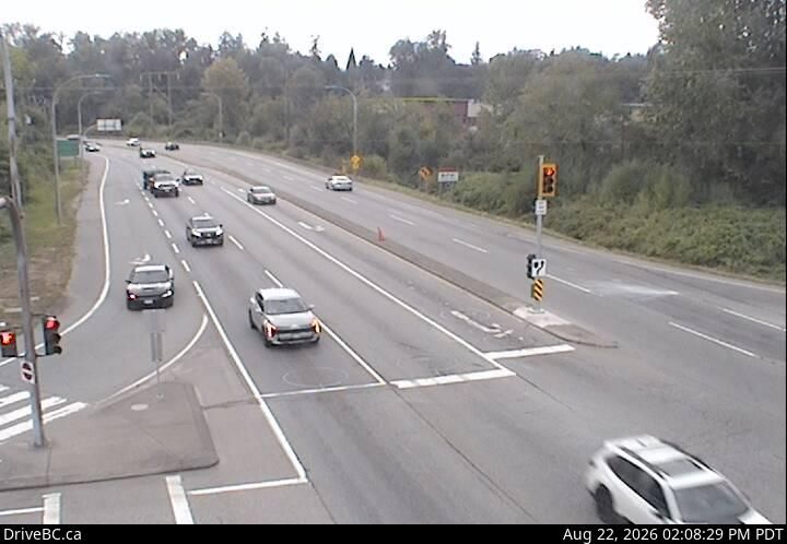
Mary Hill › West: Hwy 7B - Bypass), at Broadway St in Port Coquitlam, looking west
Mary Hill › West: Hwy 7B - Bypass), at Broadway St in Port Coquitlam, looking west
Port Coquitlam, BRITISH COLUMBIA
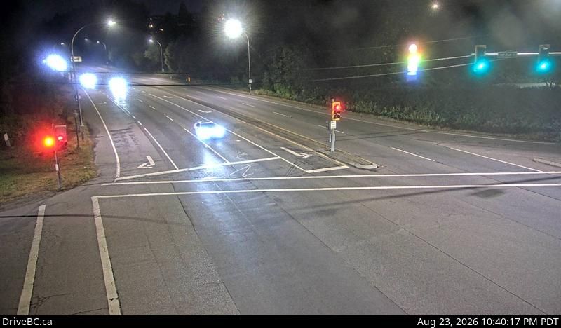
Port Coquitlam › West: Hwy 7B (Mary Hill Bypass), at Pitt River Rd, looking west
Port Coquitlam › West: Hwy 7B (Mary Hill Bypass), at Pitt River Rd, looking west
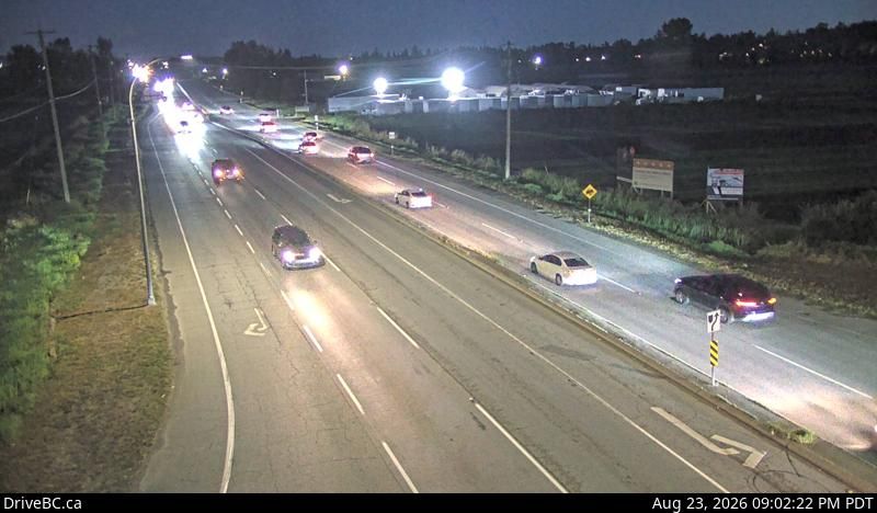
Anniedale, BRITISH COLUMBIA
Anniedale › South: Highway 15 at 88 Avenue, looking south
Anniedale › South: Highway 15 at 88 Avenue, looking south