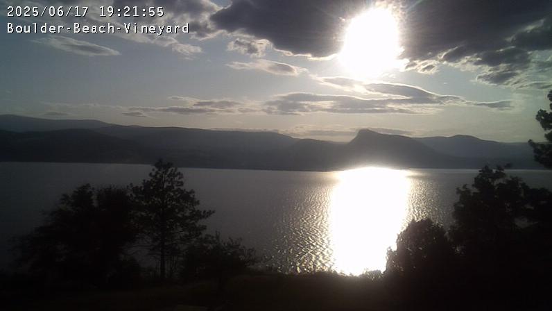
Webcam provided by windy.com — add a webcam

BC
Naramata › North-West: Okanagan Lake
Naramata › North-West: Okanagan Lake

Penticton, BC
Penticton: Webcam de
Penticton: Webcam de

Summerland, BC
Summerland › South: Hwy 97 at Callan Rd, about 6 km north of - about 15 km south of Peachland. Looking south
Summerland › South: Hwy 97 at Callan Rd, about 6 km north of - about 15 km south of Peachland. Looking south

Kaleden, BC
Kaleden › North: Hwy 97 at Hwy 3A junction, just south of - Weigh Scale, looking north
Kaleden › North: Hwy 97 at Hwy 3A junction, just south of - Weigh Scale, looking north

BC
Kaleden › West: Hwy 97 at Hwy 3A junction, just south of - Weigh Scale, looking west
Kaleden › West: Hwy 97 at Hwy 3A junction, just south of - Weigh Scale, looking west

BC
West Kelowna › West: Hwy 97 at Hwy 97C junction, about 5 km south of Westbank, looking west
West Kelowna › West: Hwy 97 at Hwy 97C junction, about 5 km south of Westbank, looking west

West Kelowna, BC
West Kelowna › North: Hwy 97 at Hwy 97C junction, about 5 km south of Westbank, looking north
West Kelowna › North: Hwy 97 at Hwy 97C junction, about 5 km south of Westbank, looking north

Kelowna, BC
Kelowna › West: Summerhill Pyramid Winery
Kelowna › West: Summerhill Pyramid Winery

Keremeos, BC
Keremeos › East: Hwy 3A (Kaleden to) - near Sheep Creek Road, looking east
Keremeos › East: Hwy 3A (Kaleden to) - near Sheep Creek Road, looking east

Keremeos, BC
Keremeos › West: Hwy 3A (Kaleden to) - near Sheep Creek Road, looking west
Keremeos › West: Hwy 3A (Kaleden to) - near Sheep Creek Road, looking west

Peachland, BC
Peachland
Peachland

Kelowna, BC
Kelowna: COSA, Central Okanagan Sailing Association
Kelowna: COSA, Central Okanagan Sailing Association

BC
Area I › West
Area I › West

Kelowna, BC
West end of WR Bennett Bridge connecting Kelowna and West Kelowna, looking west. (elevation: 344 metres)
West end of WR Bennett Bridge connecting Kelowna and West Kelowna, looking west. (elevation: 344 metres)

West Kelowna, BC
West Kelowna › West: West end of WR Bennett Bridge connecting Kelowna and - looking west
West Kelowna › West: West end of WR Bennett Bridge connecting Kelowna and - looking west